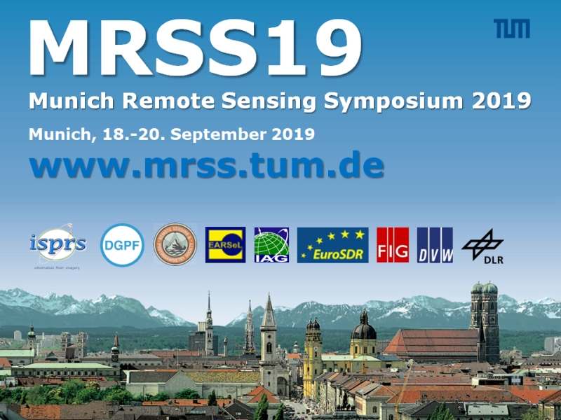
München, Germany, September 18-20, 2019
The importance of remote sensing for the observation of our Earth and other planets is continuously growing, especially since more and more space borne data has become freely available to the public via the Landsat and Sentinel missions. In order to reach the goal of remote sensing, i.e. to map our environment both semantically and topographically, methods and algorithms from fields such as signal processing, image processing, computer vision and machine learning need to be combined with sensor- and target-specific domain expertise. MRSS19 seeks to foster the development of approaches from those fields dedicated to remote sensing data analysis.
More information: http://www.pf.bgu.tum.de/isprs/pia19/

