
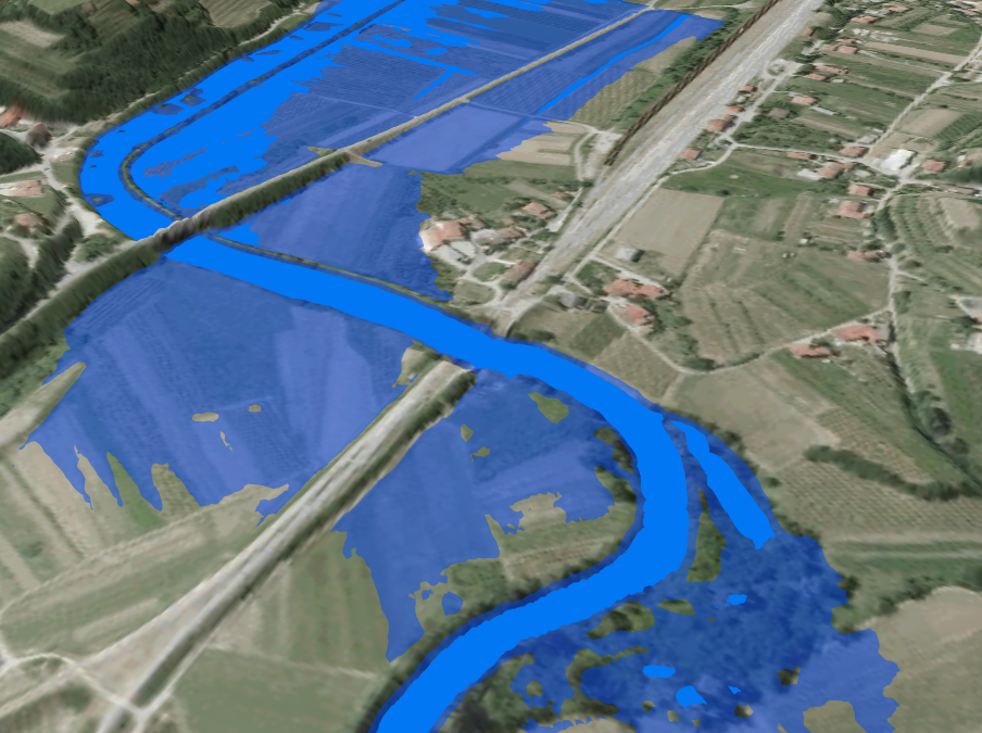
At the World Construction Forum 2019, which was held from 8 to 11 April in Ljubljana, we presented the lecture Application of Earth Observation and 3D geospatial data and disaster monitoring. Within the Themes 4: Disaster Risk Management and for Resilient Communities, we presented the challenges of linking 3D city and landscape models and flood detection data derived from satellite images. The flooded areas can be detected using free and open data from the European Union’s Copernicus program. Our application uses Sentinel-1 SAR imagery and produces a spatial layer of water bodies immediately after the images are available. The result of processing is a vector layer delivered via a web geospatial information system (GIS) and as a service. The inclusion of 3D city models is relevant for damage assessment, disaster response planning, and damage prevention.
Link: https://www.wcf2019.org/