
Do you want to continue studying, training abroad, engaging in international projects and becoming part of a breakthrough research group in the fields of Earth observation and geoinformatics?
Are you interested in Earth observation and geoinformatics? Are you ready to participate in challenges in the areas of environmental studies and spatial development, natural resource management, smart cities and villages etc. using the latest geospatial technologies?
Take the opportunity and apply for (one of two) young researcher positions:
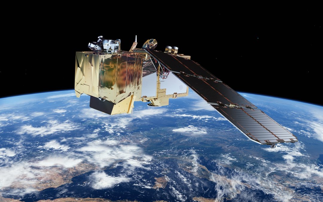
- Use of remote sensing methods for observing natural phenomena (Geodesy/Environmental studies): The field of research is the analysis of the environment using spatial data of various sources, with emphasis on remote sensing data (images from satellites, aircraft, airlines). The candidate will develop a methodology for data capture and processing for the chosen application (presumably observation of forests, agricultural or urban areas, natural disasters). The emphasis will be on understanding the needs, selecting suitable sources, integrating data, developing processing algorithms, validating, analysing quality and interpreting data. It is envisaged to enrol in the doctoral study Built Environment or Environmental Protection.
- Analysis of time series of satellite imagery (Geodesy/Computer Science and informatics): The field of research is the processing of (long and dense) time series of satellite imagery, especially medium-resolution satellite systems (Landsat, Sentinel, Planet …). The dissertation will focus on the development of data acquisition methods, the construction of a database (raster, vector), (radiometric, spatial) harmonization of images and analysis of time series. It is envisaged to process large datasets (big data) in the cloud and to use the methods of machine learning. It is envisaged to enrol in the doctoral study Built Environment or Computer and Information Science.
Requirements
Master’s degree in geo-information or wider technical and natural sciences (geodesy and geoinformatics, computer science, physics, mathematics …), and general conditions for the young researcher position. See also https://www.arrs.si/en/mr/
Desired knowledge
Priority will be given to candidates with experience in the processing of satellite images or images in general, machine learning, spatial data analysis, programming knowledge, especially in Python, as well as knowledge of processing a big data.
The deadline for applications is June 17, 2019, at 1 pm (https://www.uni-lj.si/study/young-reseachers)
More information: prof. dr. Krištof Oštir, Phone: +386 1 4768 650, e-mail: kristof.ostir@fgg.uni-lj.si