
The main aim of the research project (2019-2020), funded by the Slovenian Research Agency and the Surveying and Mapping Authority of the Republic of Slovenia at the Ministry of Environment and Spatial Planning, is to explore the possibilities of using remote sensing for the cadastral geospatial data acquisition. The project is focused on the use of optical sensors on Unmanned Aerial Vehicles – UAV for photogrammetric geospatial data acquisition. The main goal of the project is on the optimisation of the photogrammetric data acquisition for cadastral mapping, which also includes the guidelines for the practice.
Photogrammetric cadastral data acquisition is not a novelty in the land cadastre, as the first projects in Europe and at the broader international level appeared already in the 1950s. In particular, those projects should be understood as a consequence of the technological development in the field of optical geospatial acquisition of spatial data by aeroplanes. Recently, the main challenge in the field of photogrammetric cadastral mapping has been in the development of new platforms and technologies for geospatial data acquisition from the air, remote-controlled systems for geospatial data acquisition, also known as Unmanned Aerial Systems – UAS. The unexplored is, in particular, the area of marking of ground control points and cadastral points in the field, which would allow optimisation of the processing and interpretation of the acquired geospatial data.
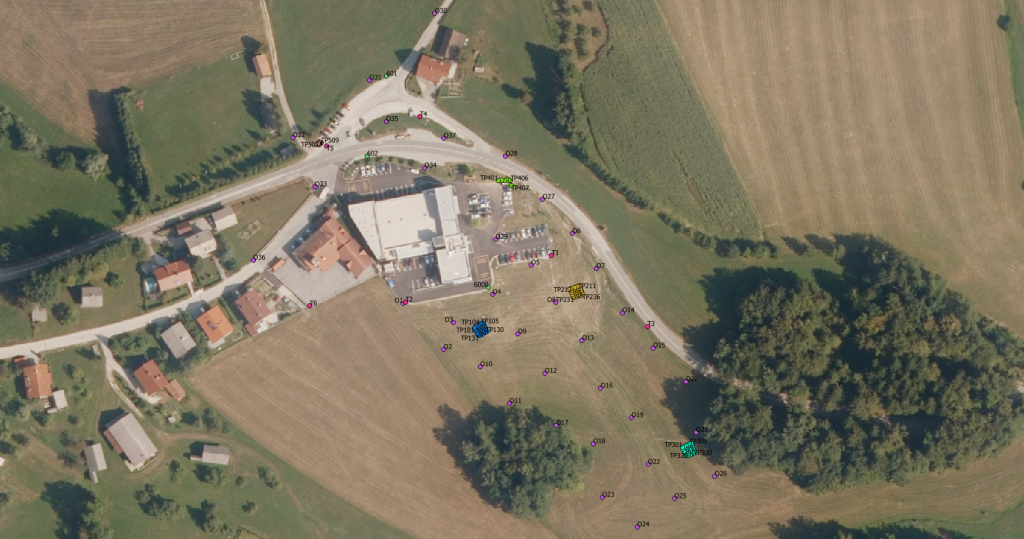
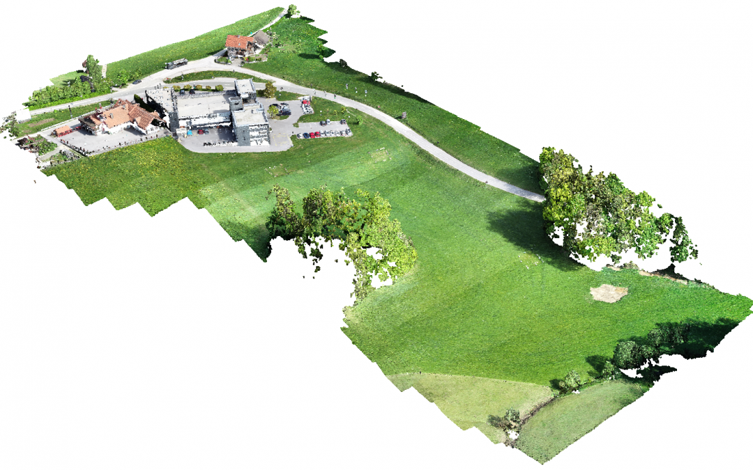
The study area of Kandrše with the network of ground points and test fields.