
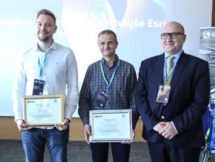
Every year, the GDi company, in cooperation with the University of Ljubljana, announces a competition for the best ESRI student thesis. The company enables students and professors to use Esri’s tools and solutions GIS to create the most challenging diploma, master or doctoral thesis.
This year’s winner is Žiga Maroh with a master’s thesis under the supervision of Prof. Krištof Oštir, in which he presents methods for visualising the digital relief model using ArcGIS Pro raster functions.
In his master’s thesis, Žiga Maroh presented the possibilities of extending the functionalities of ArgGIS Pro Tools. He implemented different types of advanced visualisation options of digital terrain models, such as sky view factor, VAT, RVT, etc., using ArcGIS Python raster functions. These advanced digital terrain model visualisation tools are very useful for interpreting and perceiving different relief structures in various fields such as hydrology, energy, forestry, archaeology and many others where classic terrain representations are not sufficient. More than 20,000 experts from the GIS community have already downloaded the terrain visualisation tools.
Congratulations!