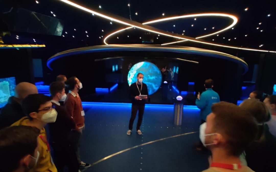
As part of their regular study obligations, master students in geodesy and geoinformatics participated in a four-day professional excursion in Italy during the first week of May. Already the route to the target destinations, which were Frascati with the Earth...
CLGE (fran. Comité de Liaison des Géomètres Européens) launched the 10th Edition of oits annual Young Surveyors’ Contest. Students and young professionals are invited, 35 years old or less, who have undertaken thesis or some research work at a European...
EuroSDR Educational Service (EduServ) annually offers four two-week e-learning courses in the field of GeoInformation (GI). It is designed for knowledge transfer from the research to the production domain. The 20th series of e-learning courses from EuroSDR will open...
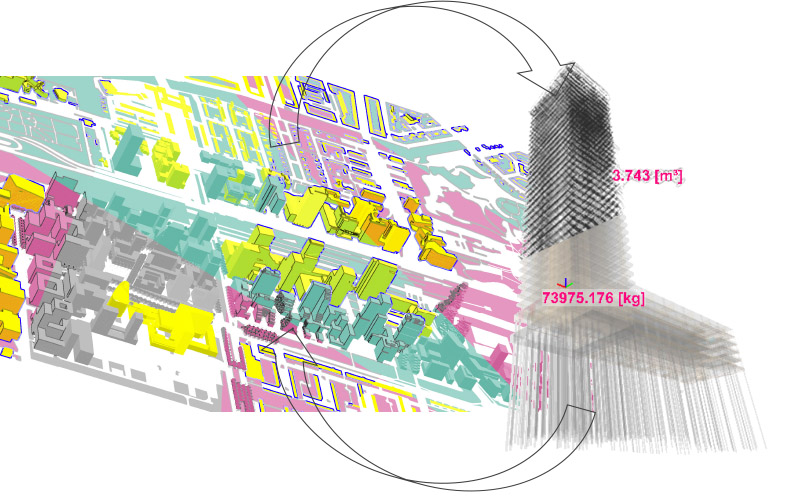
Since January 2020, the University of Ljubljana, Faculty of Civil and Geodetic Engineering (UL FGG)has been a member of the Open Geospatial Consortium OGC®. OGC is a worldwide community committed to advancing geospatial location information and services with its roots...
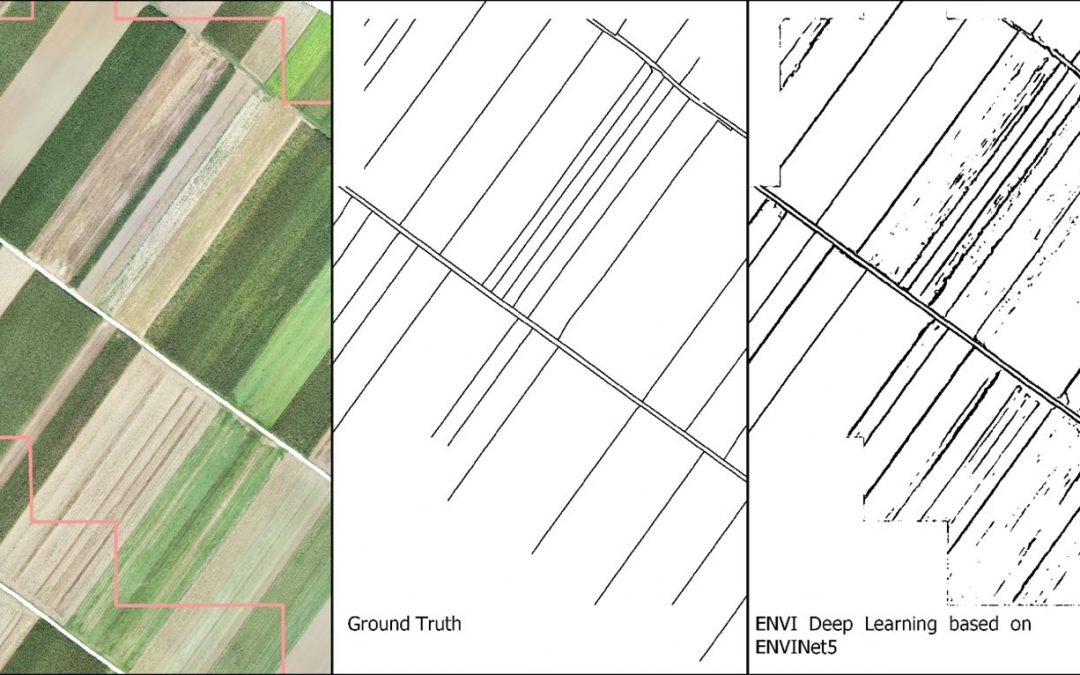
Bujar Fetai is the newest L3Harris Geospatial Student Spotlight. As part of his PhD, he is working on automating the process of delineating visible land boundaries from UAV imagery. Fetai’s research on visible land boundary detection with ENVI Deep Learning was...
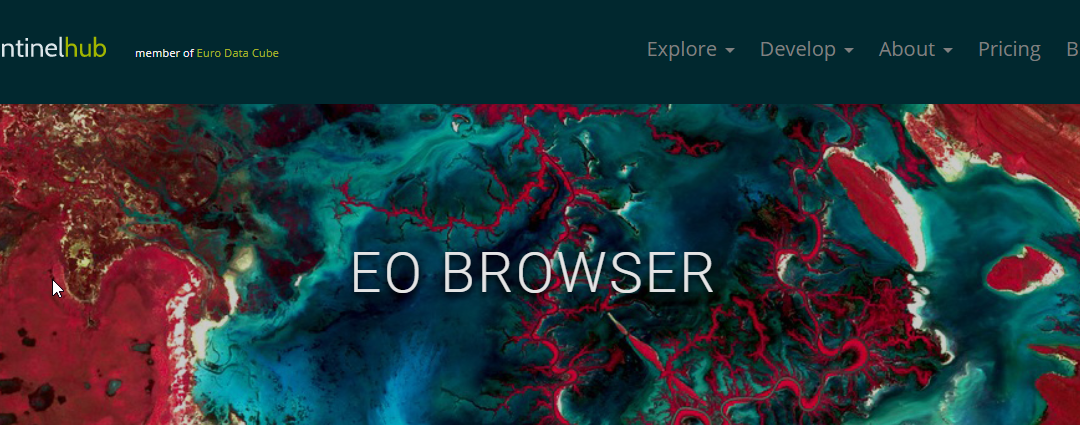
EO Browser, the world’s most popular satellite imagery viewer, has recently been made available in Slovenian. The EO Browser, developed by Sinergise d.o.o., makes it fast and easy to browse and compare full-resolution satellite imagery from many sources...